CD Laboratory for Geospatial and EO-based humanitarian technologies
Head of research unit
Commercial Partner
Duration
Thematic Cluster


The CD Laboratory initiated by Médecins Sans Frontières deals with technical, methodological and ethical-legal issues of the use of Earth observation and geospatial information technologies in conflict and humanitarian disaster situations.
Humanitarian non-governmental organisations (NGOs) such as Médecins Sans Frontières (MSF) rely on information about the population in crisis areas for their project planning. In most cases, the emergency services on the ground play a central role in this: they provide information that can be used to plan relief operations following disasters and are used in the planning of medical aid, vaccination campaigns or operations to combat food crises. However, this approach is very subjective and time-consuming, especially in complex or rapidly changing situations.
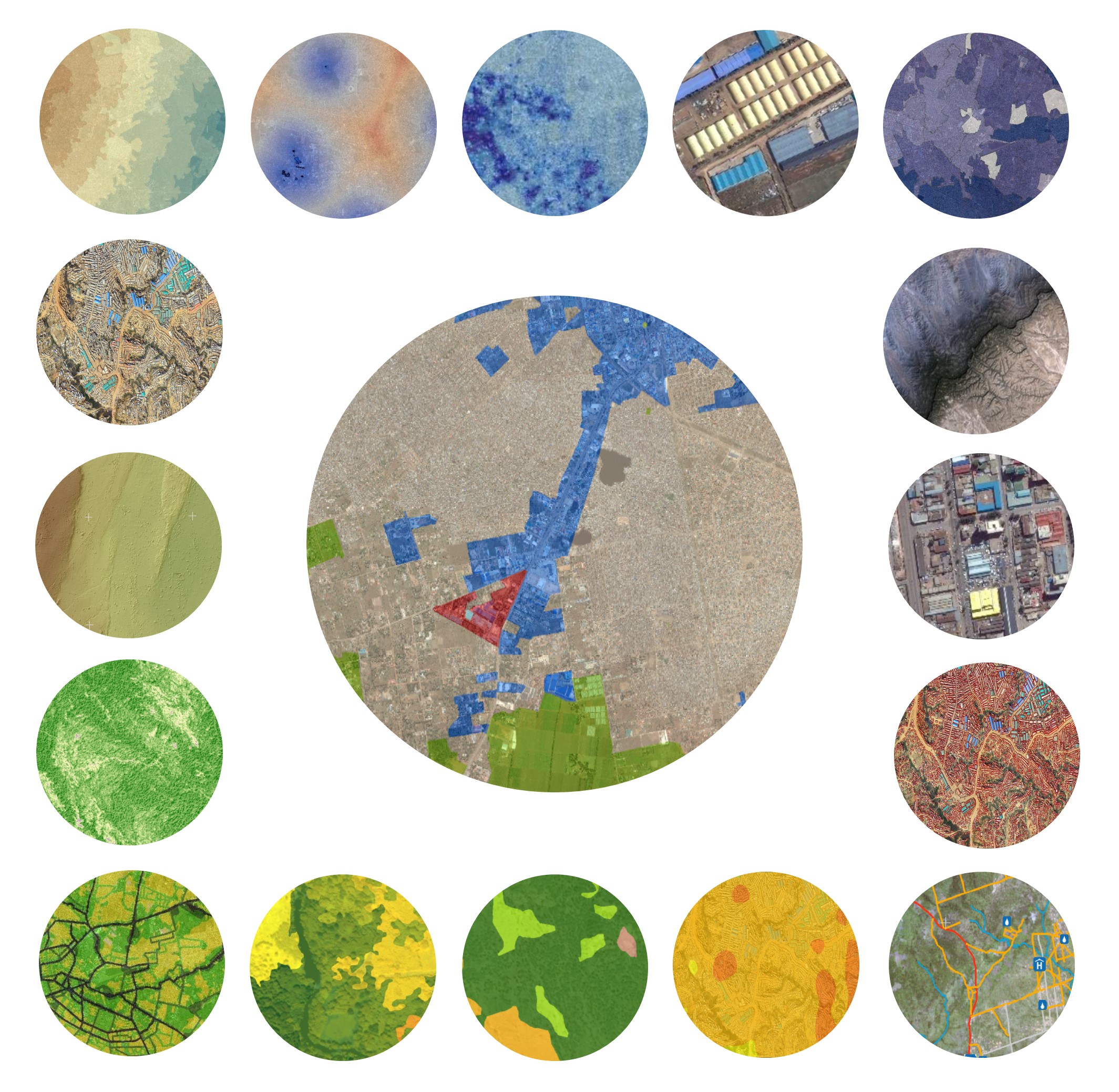
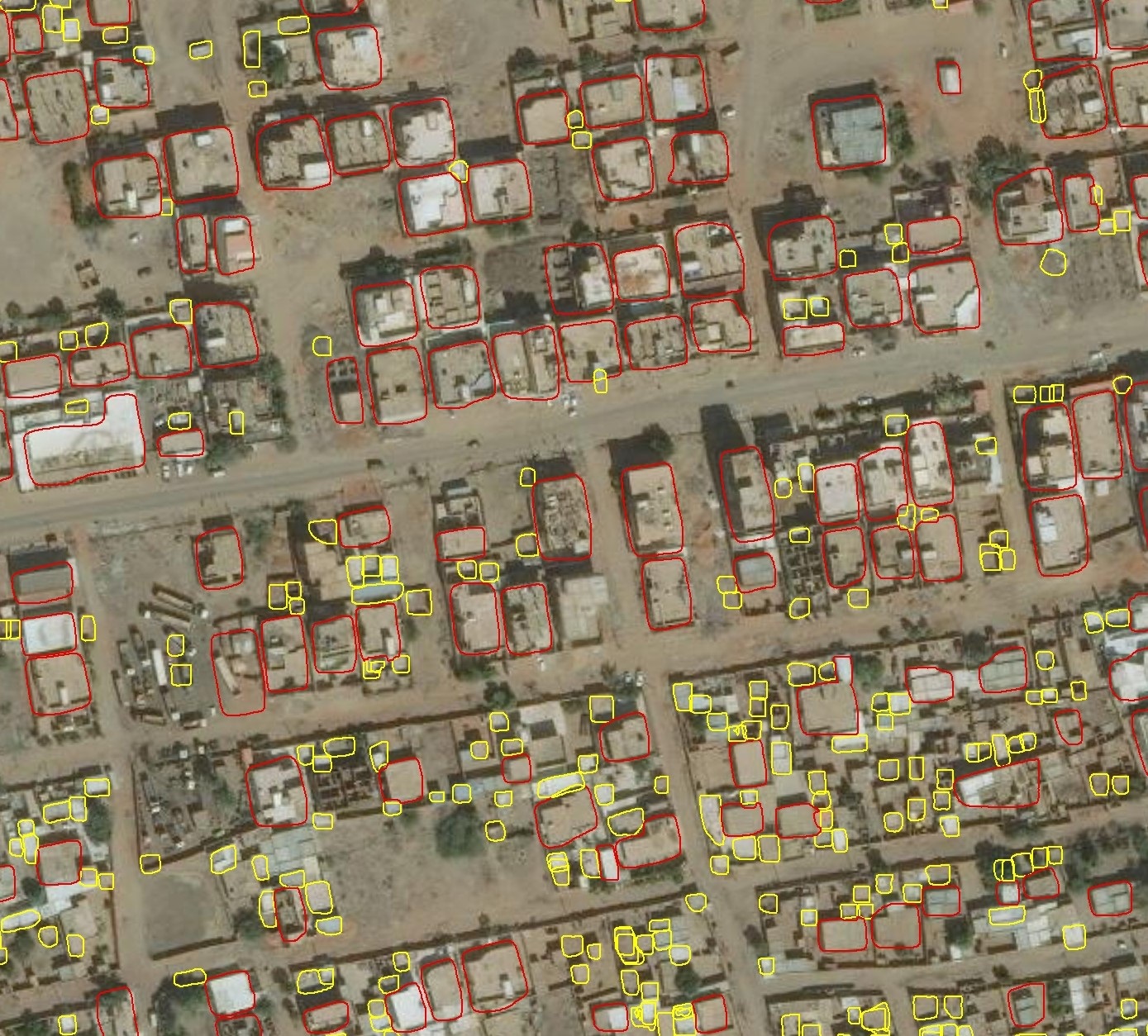
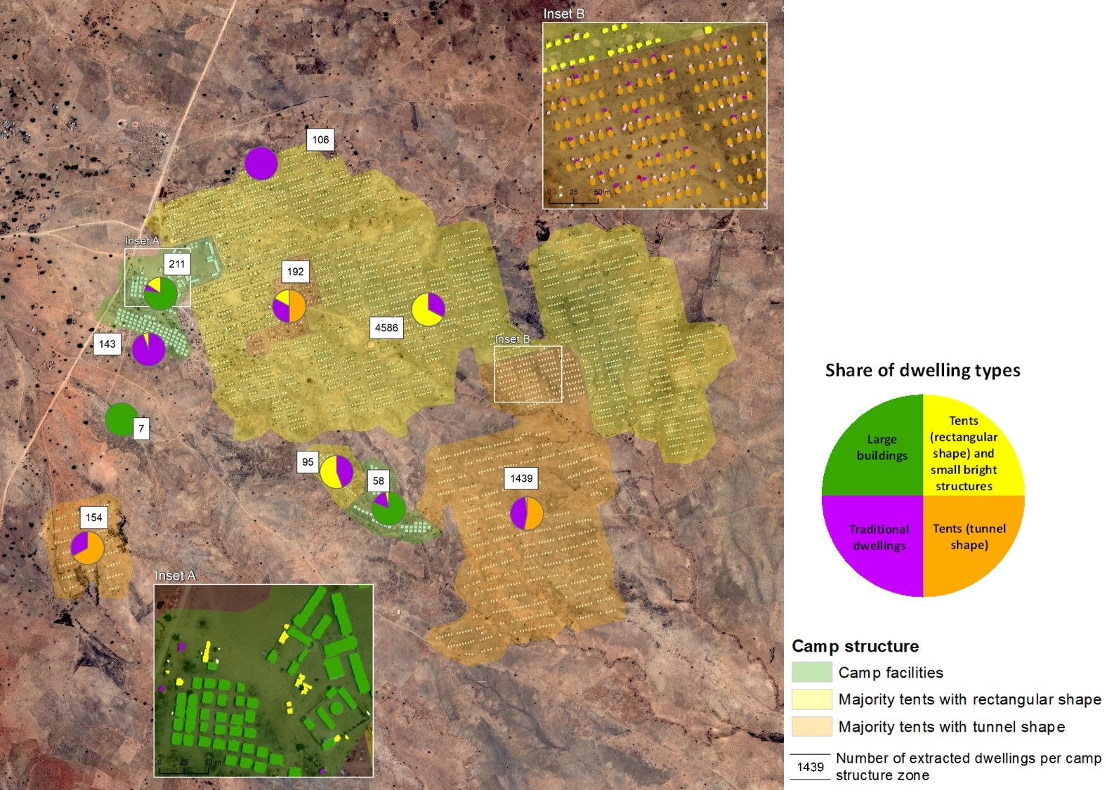
Earth observation (EO) and geospatial Information (GI) technologies can significantly refine this information and make it more reliable: for example, for the automated estimation of population density in spontaneous settlements and refugee camps, as well as their structure and changes over time, for analysing environmental resources and conditions for food, building materials, but also possible pathogens, for mapping groundwater and surface water for well construction, or for estimating damage and loss of life after natural disasters or attacks. The technical and digital possibilities are developing rapidly; however, there are still significant research questions to be answered before they can be used in accordance with the specific technical and organisational requirements of humanitarian NGOs.
This CD Laboratory is therefore dedicated to three research areas: (i) information extraction from satellite imagery, (ii) the integration and visualisation of existing thematic or statistical data sets, and (iii) the effective provision of the information collected, including ethical and legal aspects.
The aim of the research work is to be able to largely automate the critical technical elements of the entire process, from information extraction and data assimilation to product provision.


Links
Christian Doppler Forschungsgesellschaft
Boltzmanngasse 20/1/3 | 1090 Wien | Tel: +43 1 5042205 | Fax: +43 1 5042205-20 | office@cdg.ac.at

